 CALISTA STAR
Current Status
Where is the vessel?
CALISTA STAR is currently in Near Mombasa, based on AIS data received about 14h ago.
Latest AIS update:
Current position: 4.05500° S, 39.64667° E (Near Mombasa)
Average speed (last 7 days): Loading…
Average speed (last 30 days): Loading…
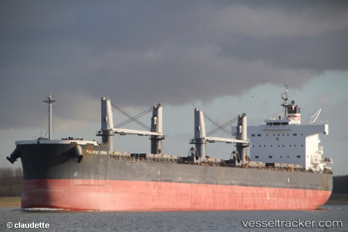
Vessel profile: CALISTA STAR is a Bulk Carrier with dimensions m x m.
This page combines live AIS, route history, probable destination signals, nearby traffic, and port activity for practical vessel monitoring.
The current position of vessel CALISTA STAR is -4.05500 lat / 39.64667 lng. Updated: 2026-05-22 01:10:10 UTCNearest reference points:
- Near Mombasa
- 11 nm SE of Mombasa
Currently sailing under the flag of Panama ![]()
Details:
Live Vessel CALISTA STAR Analytics (details, animations, etc.)
Recent AIS points (UTC):
2026-05-21 19:36:15 UTC · -4.05640, 39.64801 · SOG 0 kn · COG 351°2026-05-21 22:18:14 UTC · -4.05638, 39.64800 · SOG 0 kn · COG 351°
2026-05-21 22:52:13 UTC · -4.05500, 39.64667 · SOG 0 kn · COG -1°
2026-05-22 01:10:10 UTC · -4.05500, 39.64667 · SOG 0 kn · COG -1°