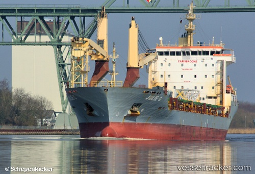
 JULIE C
Current Status
Where is the vessel?
JULIE C is currently in 48 nm NE of The Bight, based on AIS data received about 14h ago.
Latest AIS update:
Current position: 24.83320° N, 74.72531° W (48 nm NE of The Bight)
Average speed (last 7 days): Loading…
Average speed (last 30 days): Loading…
Vessel profile: JULIE C is a General Cargo with dimensions m x m.
This page combines live AIS, route history, probable destination signals, nearby traffic, and port activity for practical vessel monitoring.
The current position of vessel JULIE C is 24.83320 lat / -74.72531 lng. Updated: 2026-05-19 10:27:30 UTCNearest reference points:
- 31 nm E of Harbour Island
- 22 nm E of Harbour Island
- Near Great Exuma Island
Currently sailing under the flag of Portugal ![]()
Details:
Live Vessel JULIE C Analytics (details, animations, etc.)
Recent AIS points (UTC):
2026-05-19 07:02:07 UTC · 24.49334, -73.97282 · SOG 13.2 kn · COG 298°2026-05-19 08:05:10 UTC · 24.59945, -74.19783 · SOG 13 kn · COG 295°
2026-05-19 10:00:35 UTC · 24.79058, -74.62367 · SOG 13.5 kn · COG 294°
2026-05-19 10:27:30 UTC · 24.83320, -74.72531 · SOG 13.4 kn · COG 293°