 Nyland
Current Status
Where is the vessel?
Nyland is currently in Near Suaru Kalasadam, based on AIS data received about 14h ago.
Latest AIS update:
Current position: 58.01393° N, 23.98448° E (Near Suaru Kalasadam)
Average speed (last 7 days): Loading…
Average speed (last 30 days): Loading…
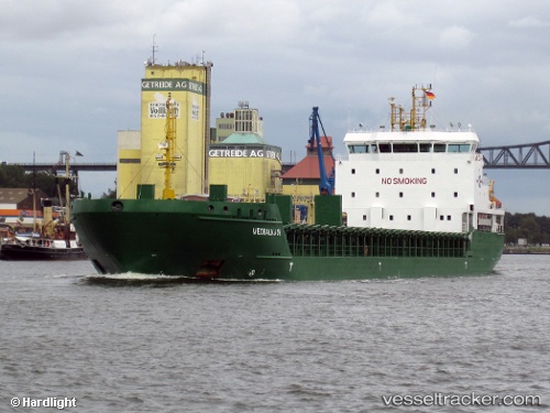
Vessel profile: Nyland is a Multi Purpose Carrier with dimensions 121m x 17m.
This page combines live AIS, route history, probable destination signals, nearby traffic, and port activity for practical vessel monitoring.
The current position of vessel Nyland is 58.01393 lat / 23.98448 lng. Updated: 2026-05-18 23:36:06 UTCNearest reference points:
- Near Bullu
- Near Riga
- Near Ristna
Currently sailing under the flag of Cyprus ![]()
Nyland built in 2009 year
Deadweight:
6777 tDetails:
Live Vessel Nyland Analytics (details, animations, etc.)
Recent AIS points (UTC):
2026-05-18 20:04:46 UTC · 57.84522, 22.74983 · SOG 11.5 kn · COG 72°2026-05-18 21:37:26 UTC · 57.91763, 23.28787 · SOG 11.3 kn · COG 73°
2026-05-18 22:57:25 UTC · 57.97731, 23.75798 · SOG 11.7 kn · COG 72°
2026-05-18 23:36:06 UTC · 58.01393, 23.98448 · SOG 11.3 kn · COG 71°