 vesseltracker.com
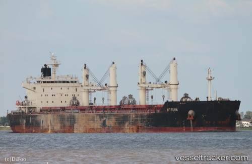
 NSG GLORY
Current Status
Where is the vessel?
NSG GLORY is currently in 19 nm NE of Port Sultan, based on AIS data received about 14h ago.
Latest AIS update:
Current position: 23.80383° N, 58.90679° E (19 nm NE of Port Sultan)
Average speed (last 7 days): Loading…
Average speed (last 30 days): Loading…
Vessel profile: NSG GLORY is a Bulk Carrier with dimensions m x m.
This page combines live AIS, route history, probable destination signals, nearby traffic, and port activity for practical vessel monitoring.
The current position of vessel NSG GLORY is 23.80383 lat / 58.90679 lng. Updated: 2026-05-18 13:25:01 UTCNearest reference points:
- 23 nm NE of Qalhat
- 58 nm S of JASK
- 59 nm S of Chah Bahar
Currently sailing under the flag of Liberia ![]()
Details:
Live Vessel NSG GLORY Analytics (details, animations, etc.)
Recent AIS points (UTC):
2026-05-18 10:00:59 UTC · 23.27664, 59.41790 · SOG 9.9 kn · COG 316°2026-05-18 10:27:09 UTC · 23.33731, 59.35600 · SOG 12.2 kn · COG 315°
2026-05-18 12:05:30 UTC · 23.59153, 59.10138 · SOG 10.9 kn · COG 320°
2026-05-18 13:25:01 UTC · 23.80383, 58.90679 · SOG 12 kn · COG 318°