 MARITIME HARMONY
Current Status
Where is the vessel?
MARITIME HARMONY is currently in 21 nm NE of Longyan Pt, based on AIS data received about 15h ago.
Latest AIS update:
Current position: 37.66325° N, 122.96998° E (21 nm NE of Longyan Pt)
Average speed (last 7 days): Loading…
Average speed (last 30 days): Loading…
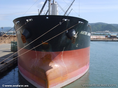
Vessel profile: MARITIME HARMONY is a Bulk Carrier with dimensions m x m.
This page combines live AIS, route history, probable destination signals, nearby traffic, and port activity for practical vessel monitoring.
The current position of vessel MARITIME HARMONY is 37.66325 lat / 122.96998 lng. Updated: 2026-05-20 07:51:53 UTCNearest reference points:
- 16 nm NE of Longyan Pt
- 21 nm E of Longyan Pt
- 28 nm NE of Longyan Pt
Currently sailing under the flag of Marshall Islands ![]()
Details:
Live Vessel MARITIME HARMONY Analytics (details, animations, etc.)
Recent AIS points (UTC):
2026-05-20 04:14:14 UTC · 37.04137, 123.06663 · SOG 11.1 kn · COG 356°2026-05-20 05:28:01 UTC · 37.26303, 123.05105 · SOG 10.5 kn · COG 2°
2026-05-20 07:50:22 UTC · 37.66110, 122.97495 · SOG 10.9 kn · COG 299°
2026-05-20 07:51:53 UTC · 37.66325, 122.96998 · SOG 10.9 kn · COG 299°