 vesseltracker.com
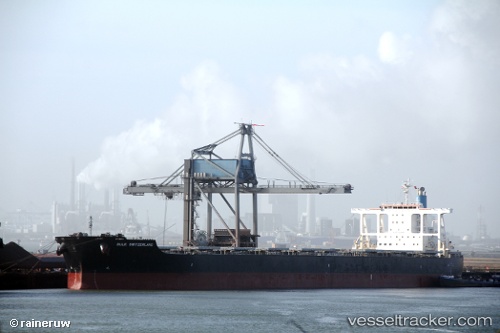
 PATRIOTSHIP
Current Status
Where is the vessel?
PATRIOTSHIP is currently in 342 nm NE of Levelwood, based on AIS data received about 14h ago.
Latest AIS update:
Current position: 12.72663° S, 0.35903° W (342 nm NE of Levelwood)
Average speed (last 7 days): Loading…
Average speed (last 30 days): Loading…
Vessel profile: PATRIOTSHIP is a Bulk Carrier with dimensions 45m x 289m.
This page combines live AIS, route history, probable destination signals, nearby traffic, and port activity for practical vessel monitoring.
The current position of vessel PATRIOTSHIP is -12.72663 lat / -0.35903 lng. Updated: 2026-05-18 01:32:04 UTCNearest reference points:
- Open sea, approx. 400 nm off the nearest listed port
- Open sea, approx. 401 nm off the nearest listed port
- Open sea, approx. 402 nm off the nearest listed port
Currently sailing under the flag of Marshall Islands ![]()
PATRIOTSHIP built in 2010 year
Deadweight:
181709 tDetails:
Live Vessel PATRIOTSHIP Analytics (details, animations, etc.)
Recent AIS points (UTC):
2026-05-17 22:17:44 UTC · -12.26172, -0.72318 · SOG 11.2 kn · COG 141°2026-05-17 23:26:44 UTC · -12.42861, -0.59098 · SOG 10.7 kn · COG 143°
2026-05-18 01:30:03 UTC · -12.72199, -0.36290 · SOG 10.8 kn · COG 139°
2026-05-18 01:32:04 UTC · -12.72663, -0.35903 · SOG 10.8 kn · COG 140°