 Tempanos
Current Status
Where is the vessel?
Tempanos is currently in 225 nm S of Lukovica pri Domzalah, based on AIS data received about 14h ago.
Latest AIS update:
Current position: 42.46470° N, 143.46352° W (225 nm S of Lukovica pri Domzalah)
Average speed (last 7 days): Loading…
Average speed (last 30 days): Loading…
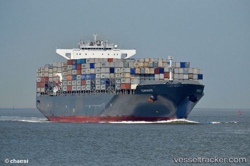
Vessel profile: Tempanos is a Container Ship with dimensions 300m x 46m.
This page combines live AIS, route history, probable destination signals, nearby traffic, and port activity for practical vessel monitoring.
The current position of vessel Tempanos is 42.46470 lat / -143.46352 lng. Updated: 2026-05-18 21:28:09 UTCCurrently sailing under the flag of Liberia ![]()
Tempanos built in 2011 year
Deadweight:
94649 tDetails:
Live Vessel Tempanos Analytics (details, animations, etc.)
Recent AIS points (UTC):
2026-05-18 17:28:35 UTC · 41.99806, -142.17670 · SOG 16.1 kn · COG 296°2026-05-18 19:28:25 UTC · 42.23300, -142.81381 · SOG 15.7 kn · COG 295°
2026-05-18 19:42:09 UTC · 42.26012, -142.88554 · SOG 15.8 kn · COG 295°
2026-05-18 21:28:09 UTC · 42.46470, -143.46352 · SOG 16.4 kn · COG 296°