 BHARANI
Current Status
Where is the vessel?
BHARANI is currently in Near Tema, based on AIS data received about 14h ago.
Latest AIS update:
Current position: 5.54498° N, 0.05906° E (Near Tema)
Average speed (last 7 days): Loading…
Average speed (last 30 days): Loading…
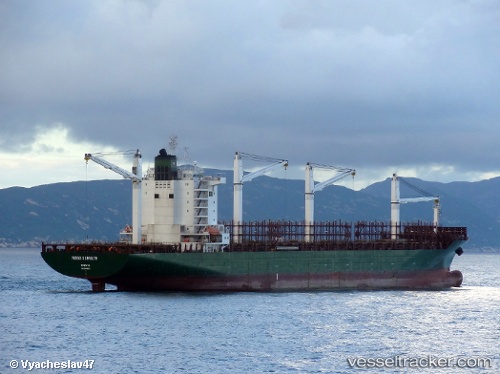
Vessel profile: BHARANI is a Container Ship with dimensions m x m.
This page combines live AIS, route history, probable destination signals, nearby traffic, and port activity for practical vessel monitoring.
The current position of vessel BHARANI is 5.54498 lat / 0.05906 lng. Updated: 2026-05-19 01:29:46 UTCNearest reference points:
- Near Ablogamé
- Near Sekondi
- Near Takoradi
Currently sailing under the flag of Panama ![]()
Details:
Live Vessel BHARANI Analytics (details, animations, etc.)
Recent AIS points (UTC):
2026-05-18 23:08:44 UTC · 5.54467, 0.05925 · SOG 0 kn · COG 231°2026-05-18 23:56:41 UTC · 5.54484, 0.05910 · SOG 0 kn · COG 225°
2026-05-19 01:29:46 UTC · 5.54498, 0.05906 · SOG 0 kn · COG 217°
2026-05-19 01:29:46 UTC · 5.54498, 0.05906 · SOG 0 kn · COG 217°