 MSC AMIHAN F
Current Status
Where is the vessel?
MSC AMIHAN F is currently in 14 nm S of Psará, based on AIS data received about 14h ago.
Latest AIS update:
Current position: 38.32315° N, 25.46193° E (14 nm S of Psará)
Average speed (last 7 days): Loading…
Average speed (last 30 days): Loading…
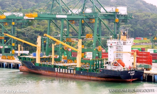
Vessel profile: MSC AMIHAN F is a Container Ship with dimensions 23m x 139m.
This page combines live AIS, route history, probable destination signals, nearby traffic, and port activity for practical vessel monitoring.
The current position of vessel MSC AMIHAN F is 38.32315 lat / 25.46193 lng. Updated: 2026-05-20 04:27:39 UTCNearest reference points:
- 28 nm NW of Psará
- 29 nm SW of Sigri Lesvou
- 13 nm NW of Karkinagri Ikarias
Currently sailing under the flag of Liberia ![]()
MSC AMIHAN F built in 2008 year
Deadweight:
11807 tDetails:
Live Vessel MSC AMIHAN F Analytics (details, animations, etc.)
Recent AIS points (UTC):
2026-05-20 01:23:05 UTC · 38.74753, 25.87556 · SOG 14 kn · COG 265°2026-05-20 01:50:07 UTC · 38.72998, 25.74340 · SOG 14 kn · COG 255°
2026-05-20 04:24:39 UTC · 38.33445, 25.45678 · SOG 14.5 kn · COG 160°
2026-05-20 04:27:39 UTC · 38.32315, 25.46193 · SOG 14.5 kn · COG 160°