 vesseltracker.com
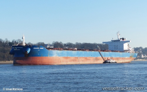
 MARINE VICTORY
Current Status
Where is the vessel?
MARINE VICTORY is currently in 122 nm NW of Port Mathurin, based on AIS data received about 16h ago.
Latest AIS update:
Current position: 17.95843° S, 62.27300° E (122 nm NW of Port Mathurin)
Average speed (last 7 days): Loading…
Average speed (last 30 days): Loading…
Vessel profile: MARINE VICTORY is a Bulk Carrier with dimensions 250m x 43m.
This page combines live AIS, route history, probable destination signals, nearby traffic, and port activity for practical vessel monitoring.
The current position of vessel MARINE VICTORY is -17.95843 lat / 62.27300 lng. Updated: 2026-05-18 11:31:32 UTCNearest reference points:
- 106 nm NW of Port Mathurin
- 219 nm NW of Port Mathurin
- 241 nm N of Port Mathurin
Currently sailing under the flag of Liberia ![]()
MARINE VICTORY built in 2011 year
Deadweight:
114091 tDetails:
Live Vessel MARINE VICTORY Analytics (details, animations, etc.)
Recent AIS points (UTC):
2026-05-18 08:03:30 UTC · -17.66546, 62.73630 · SOG 9.6 kn · COG 228°2026-05-18 09:20:43 UTC · -17.77833, 62.55816 · SOG 8.8 kn · COG 227°
2026-05-18 10:04:50 UTC · -17.83825, 62.46181 · SOG 8.9 kn · COG 229°
2026-05-18 11:31:32 UTC · -17.95843, 62.27300 · SOG 9.9 kn · COG 232°