 MARINE HONESTY
Current Status
Where is the vessel?
MARINE HONESTY is currently in 38 nm W of Gageohyangri, based on AIS data received about 14h ago.
Latest AIS update:
Current position: 33.90695° N, 124.34913° E (38 nm W of Gageohyangri)
Average speed (last 7 days): Loading…
Average speed (last 30 days): Loading…
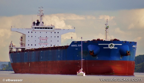
Vessel profile: MARINE HONESTY is a Bulk Carrier with dimensions m x m.
This page combines live AIS, route history, probable destination signals, nearby traffic, and port activity for practical vessel monitoring.
The current position of vessel MARINE HONESTY is 33.90695 lat / 124.34913 lng. Updated: 2026-05-18 23:01:18 UTCNearest reference points:
- 82 nm W of Gageohyangri
- 61 nm S of Gageohyangri
- 91 nm W of Gageohyangri
Currently sailing under the flag of Liberia ![]()
Details:
Live Vessel MARINE HONESTY Analytics (details, animations, etc.)
Recent AIS points (UTC):
2026-05-18 20:14:28 UTC · 33.51011, 124.44572 · SOG 9.1 kn · COG -1°2026-05-18 22:02:15 UTC · 33.77050, 124.38294 · SOG 8 kn · COG 343°
2026-05-18 22:36:08 UTC · 33.84949, 124.36299 · SOG 8.4 kn · COG -1°
2026-05-18 23:01:18 UTC · 33.90695, 124.34913 · SOG 8.3 kn · COG -1°