 EXPLOR
Current Status
Where is the vessel?
EXPLOR is currently in 20 nm SE of HASSA, based on AIS data received about 23h ago.
Latest AIS update:
Current position: 25.94778° N, 56.49620° E (20 nm SE of HASSA)
Average speed (last 7 days): Loading…
Average speed (last 30 days): Loading…
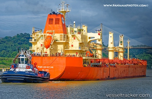
Vessel profile: EXPLOR is a Bulk Carrier with dimensions m x m.
This page combines live AIS, route history, probable destination signals, nearby traffic, and port activity for practical vessel monitoring.
The current position of vessel EXPLOR is 25.94778 lat / 56.49620 lng. Updated: 2026-05-22 14:45:21 UTCNearest reference points:
- Near Rak Maritime City
- Near Stevin Rock
- 29 nm NE of Offshore Fujairah
Currently sailing under the flag of Panama ![]()
Details:
Live Vessel EXPLOR Analytics (details, animations, etc.)
Recent AIS points (UTC):
2026-05-22 14:45:21 UTC · 25.94778, 56.49620 · SOG 17.1 kn · COG -1°2026-05-22 14:45:21 UTC · 25.94778, 56.49620 · SOG 17.1 kn · COG -1°
2026-05-22 14:45:21 UTC · 25.94778, 56.49620 · SOG 17.1 kn · COG -1°
2026-05-22 14:45:21 UTC · 25.94778, 56.49620 · SOG 17.1 kn · COG -1°