 CHARLESTON
Current Status
Where is the vessel?
CHARLESTON is currently in 205 nm S of Ehoala, based on AIS data received about 14h ago.
Latest AIS update:
Current position: 28.28468° S, 48.22245° E (205 nm S of Ehoala)
Average speed (last 7 days): Loading…
Average speed (last 30 days): Loading…
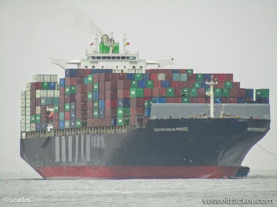
Vessel profile: CHARLESTON is a Container Ship with dimensions m x m.
This page combines live AIS, route history, probable destination signals, nearby traffic, and port activity for practical vessel monitoring.
The current position of vessel CHARLESTON is -28.28468 lat / 48.22245 lng. Updated: 2026-05-21 17:37:19 UTCNearest reference points:
- 174 nm S of Ambovombe
- 106 nm S of Tsiombe
Currently sailing under the flag of Liberia ![]()
Details:
Live Vessel CHARLESTON Analytics (details, animations, etc.)
Recent AIS points (UTC):
2026-05-21 13:47:48 UTC · -28.73547, 46.91882 · SOG 19.8 kn · COG 68°2026-05-21 15:26:18 UTC · -28.53855, 47.48246 · SOG 19.4 kn · COG 72°
2026-05-21 16:02:44 UTC · -28.47589, 47.69326 · SOG 19.1 kn · COG 69°
2026-05-21 17:37:19 UTC · -28.28468, 48.22245 · SOG 19 kn · COG 70°