 GH NIGHTINGALE
Current Status
Where is the vessel?
GH NIGHTINGALE is currently in 10 nm NE of Boyne Island, based on AIS data received about 14h ago.
Latest AIS update:
Current position: 23.81320° S, 151.47881° E (10 nm NE of Boyne Island)
Average speed (last 7 days): Loading…
Average speed (last 30 days): Loading…
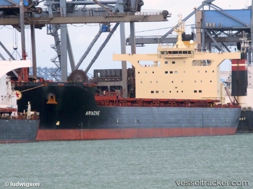
Vessel profile: GH NIGHTINGALE is a Bulk Carrier with dimensions m x m.
This page combines live AIS, route history, probable destination signals, nearby traffic, and port activity for practical vessel monitoring.
The current position of vessel GH NIGHTINGALE is -23.81320 lat / 151.47881 lng. Updated: 2026-05-19 11:38:56 UTCNearest reference points:
- Near Boyne Island
- Near Gladstone Harbor
- Near ROSSLYN
Currently sailing under the flag of Bermuda ![]()
Details:
Live Vessel GH NIGHTINGALE Analytics (details, animations, etc.)
Recent AIS points (UTC):
2026-05-19 07:26:59 UTC · -23.81798, 151.47748 · SOG 0.1 kn · COG 46°2026-05-19 09:20:56 UTC · -23.81340, 151.47842 · SOG 0.2 kn · COG 152°
2026-05-19 10:35:56 UTC · -23.81330, 151.47798 · SOG 0 kn · COG 148°
2026-05-19 11:38:56 UTC · -23.81320, 151.47881 · SOG 0 kn · COG 159°