 vesseltracker.com
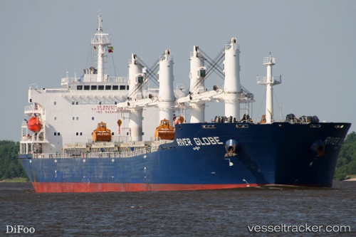
River Globe
Current StatusWhere is the vessel?
River Globe is currently in Near Diliskelesi, based on AIS data received about 14h ago.
Latest AIS update:
Current position: 40.76456° N, 29.52342° E (Near Diliskelesi)
Average speed (last 7 days): Loading…
Average speed (last 30 days): Loading…
Vessel profile: River Globe is a Bulk Carrier with dimensions 32m x 190m.
This page combines live AIS, route history, probable destination signals, nearby traffic, and port activity for practical vessel monitoring.
The current position of vessel River Globe is 40.76456 lat / 29.52342 lng. Updated: 2026-05-17 19:31:45 UTCNearest reference points:
- Near Yilport
- Near YALOVA
- Near Diliskelesi
Details:
Live Vessel River Globe Analytics (details, animations, etc.)
Recent AIS points (UTC):
2026-05-17 16:52:49 UTC · 40.76454, 29.52337 · SOG 0 kn · COG 2°2026-05-17 17:55:45 UTC · 40.76454, 29.52339 · SOG 0 kn · COG 2°
2026-05-17 19:07:45 UTC · 40.76449, 29.52342 · SOG 0 kn · COG 2°
2026-05-17 19:31:45 UTC · 40.76456, 29.52342 · SOG 0 kn · COG 2°