 ST MARIA
Current Status
Where is the vessel?
ST MARIA is currently in Near Dar es Salaam, based on AIS data received about 15h ago.
Latest AIS update:
Current position: 6.73747° S, 39.35619° E (Near Dar es Salaam)
Average speed (last 7 days): Loading…
Average speed (last 30 days): Loading…
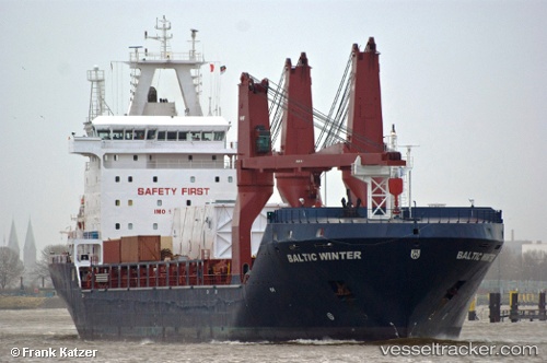
Vessel profile: ST MARIA is a Multi Purpose Carrier with dimensions 166m x 23m.
This page combines live AIS, route history, probable destination signals, nearby traffic, and port activity for practical vessel monitoring.
The current position of vessel ST MARIA is -6.73747 lat / 39.35619 lng. Updated: 2026-05-18 20:03:40 UTCNearest reference points:
- Near Dar Es Salaam
Currently sailing under the flag of Liberia ![]()
Details:
Live Vessel ST MARIA Analytics (details, animations, etc.)
Recent AIS points (UTC):
2026-05-18 15:25:38 UTC · -7.40850, 40.12351 · SOG 14.7 kn · COG 314°2026-05-18 18:16:42 UTC · -6.89193, 39.66840 · SOG 12.9 kn · COG 297°
2026-05-18 19:28:20 UTC · -6.79657, 39.43431 · SOG 12.3 kn · COG 291°
2026-05-18 20:03:40 UTC · -6.73747, 39.35619 · SOG 5.5 kn · COG 306°