 ENTERPRISE I
Current Status
Where is the vessel?
ENTERPRISE I is currently in 10 nm NE of ROATAN, based on AIS data received about 14h ago.
Latest AIS update:
Current position: 16.39500° N, 86.35167° W (10 nm NE of ROATAN)
Average speed (last 7 days): Loading…
Average speed (last 30 days): Loading…
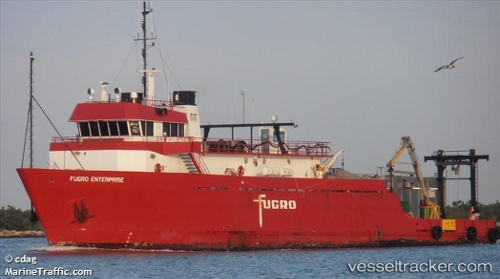
Vessel profile: ENTERPRISE I is a Research/Survey Vessel with dimensions m x m.
This page combines live AIS, route history, probable destination signals, nearby traffic, and port activity for practical vessel monitoring.
The current position of vessel ENTERPRISE I is 16.39500 lat / -86.35167 lng. Updated: 2026-05-18 23:35:39 UTCNearest reference points:
- 26 nm SE of Dangriga
- 14 nm NW of Puerto Cortes
- 14 nm SE of Belize
Currently sailing under the flag of Honduras ![]()
Details:
Live Vessel ENTERPRISE I Analytics (details, animations, etc.)
Recent AIS points (UTC):
2026-05-18 20:05:35 UTC · 16.39500, -86.35167 · SOG 0 kn · COG -1°2026-05-18 21:53:36 UTC · 16.39500, -86.35167 · SOG 0 kn · COG -1°
2026-05-18 22:38:36 UTC · 16.39500, -86.35167 · SOG 0 kn · COG -1°
2026-05-18 23:35:39 UTC · 16.39500, -86.35167 · SOG 0 kn · COG -1°