 CHATHAM ISLAND
Current Status
Where is the vessel?
CHATHAM ISLAND is currently in 98 nm N of Ad Dakhla, based on AIS data received about 14h ago.
Latest AIS update:
Current position: 25.30394° N, 15.64245° W (98 nm N of Ad Dakhla)
Average speed (last 7 days): Loading…
Average speed (last 30 days): Loading…
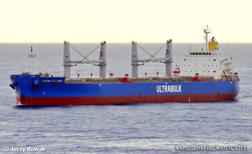
Vessel profile: CHATHAM ISLAND is a Bulk Carrier with dimensions m x m.
This page combines live AIS, route history, probable destination signals, nearby traffic, and port activity for practical vessel monitoring.
The current position of vessel CHATHAM ISLAND is 25.30394 lat / -15.64245 lng. Updated: 2026-05-21 07:56:07 UTCNearest reference points:
- 68 nm NW of Ad Dakhla
- Near DAKHLA
- 110 nm NE of Las Brujas
Currently sailing under the flag of Singapore ![]()
Details:
Live Vessel CHATHAM ISLAND Analytics (details, animations, etc.)
Recent AIS points (UTC):
2026-05-21 04:07:09 UTC · 25.98490, -15.21138 · SOG 12.3 kn · COG 218°2026-05-21 06:10:08 UTC · 25.62859, -15.45773 · SOG 12.2 kn · COG 206°
2026-05-21 06:54:16 UTC · 25.49284, -15.53496 · SOG 12.5 kn · COG 204°
2026-05-21 07:56:07 UTC · 25.30394, -15.64245 · SOG 12.1 kn · COG 203°