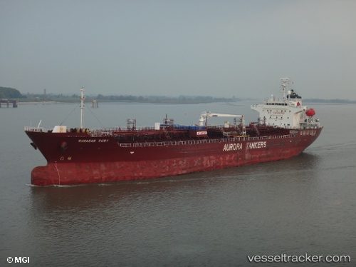
 Wawasan Ruby
Current Status
Where is the vessel?
Wawasan Ruby is currently in 90 nm E of Marsh Harbour, based on AIS data received about 19h ago.
Latest AIS update:
Current position: 26.65908° N, 75.30192° W (90 nm E of Marsh Harbour)
Average speed (last 7 days): Loading…
Average speed (last 30 days): Loading…
Vessel profile: Wawasan Ruby is a Chemical Oil Products Tanker with dimensions 146m x 146m.
This page combines live AIS, route history, probable destination signals, nearby traffic, and port activity for practical vessel monitoring.
The current position of vessel Wawasan Ruby is 26.65908 lat / -75.30192 lng. Updated: 2026-05-20 08:39:24 UTCNearest reference points:
- 31 nm E of Harbour Island
- 22 nm E of Harbour Island
- Near Harbour Island
Currently sailing under the flag of Panama ![]()
Wawasan Ruby built in 2010 year
Deadweight:
19957 tDetails:
Live Vessel Wawasan Ruby Analytics (details, animations, etc.)
Recent AIS points (UTC):
2026-05-20 08:39:24 UTC · 26.65908, -75.30192 · SOG 12.1 kn · COG 243°2026-05-20 08:39:24 UTC · 26.65908, -75.30192 · SOG 12.1 kn · COG 243°
2026-05-20 08:39:24 UTC · 26.65908, -75.30192 · SOG 12.1 kn · COG 243°
2026-05-20 08:39:24 UTC · 26.65908, -75.30192 · SOG 12.1 kn · COG 243°