 LS CASS
Current Status
Where is the vessel?
LS CASS is currently in 11 nm SE of Taganito, based on AIS data received about 14h ago.
Latest AIS update:
Current position: 9.41575° N, 125.95403° E (11 nm SE of Taganito)
Average speed (last 7 days): Loading…
Average speed (last 30 days): Loading…
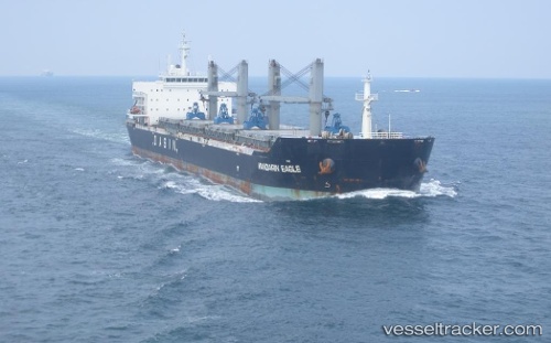
Vessel profile: LS CASS is a Bulk Carrier with dimensions m x m.
This page combines live AIS, route history, probable destination signals, nearby traffic, and port activity for practical vessel monitoring.
The current position of vessel LS CASS is 9.41575 lat / 125.95403 lng. Updated: 2026-05-19 03:53:25 UTCNearest reference points:
- Near Taganito
- Near Hilongos
- 16 nm E of Danao
Currently sailing under the flag of Marshall Islands ![]()
Details:
Live Vessel LS CASS Analytics (details, animations, etc.)
Recent AIS points (UTC):
2026-05-18 21:17:25 UTC · 9.41674, 125.95392 · SOG 0.1 kn · COG 75°2026-05-19 01:47:25 UTC · 9.41628, 125.95368 · SOG 0 kn · COG 64°
2026-05-19 01:59:25 UTC · 9.41634, 125.95370 · SOG 0 kn · COG 66°
2026-05-19 03:53:25 UTC · 9.41575, 125.95403 · SOG 0 kn · COG 43°