 vesseltracker.com
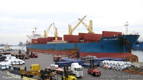
 MUNIF
MUNIF
Current Status
Where is the vessel?
MUNIF is currently in Near Panakukang, based on AIS data received about 15h ago.
Latest AIS update:
Current position: 5.14500° S, 119.34333° E (Near Panakukang)
Average speed (last 7 days): Loading…
Average speed (last 30 days): Loading…
Vessel profile: MUNIF is a Bulk Carrier with dimensions m x m.
This page combines live AIS, route history, probable destination signals, nearby traffic, and port activity for practical vessel monitoring.
The current position of vessel MUNIF is -5.14500 lat / 119.34333 lng. Updated: 2026-05-18 11:29:33 UTCNearest reference points:
- Near Makassar
- Near Panakukang
- 12 nm W of Panakukang
Currently sailing under the flag of Indonesia ![]()
Details:
Live Vessel MUNIF Analytics (details, animations, etc.)
Recent AIS points (UTC):
2026-05-18 07:55:48 UTC · -5.20173, 119.11025 · SOG 9.9 kn · COG 78°2026-05-18 09:26:07 UTC · -5.15284, 119.31915 · SOG 3.5 kn · COG 104°
2026-05-18 10:25:26 UTC · -5.14305, 119.34288 · SOG 0.1 kn · COG 105°
2026-05-18 11:29:33 UTC · -5.14500, 119.34333 · SOG 0 kn · COG -1°