 CAGLA
CAGLA
Current Status
Where is the vessel?
CAGLA is currently in Near Batumi, based on AIS data received about 14h ago.
Latest AIS update:
Current position: 41.70469° N, 41.68033° E (Near Batumi)
Average speed (last 7 days): Loading…
Average speed (last 30 days): Loading…
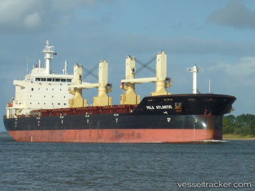
Vessel profile: CAGLA is a Bulk Carrier with dimensions m x m.
This page combines live AIS, route history, probable destination signals, nearby traffic, and port activity for practical vessel monitoring.
The current position of vessel CAGLA is 41.70469 lat / 41.68033 lng. Updated: 2026-05-18 22:29:20 UTCNearest reference points:
- Near Batumi
- Near Sup'sa
- Near Poti
Currently sailing under the flag of Barbados ![]()
Details:
Live Vessel CAGLA Analytics (details, animations, etc.)
Recent AIS points (UTC):
2026-05-18 19:32:19 UTC · 41.70475, 41.68029 · SOG 0 kn · COG 233°2026-05-18 19:44:19 UTC · 41.70481, 41.68035 · SOG 0 kn · COG 233°
2026-05-18 22:02:20 UTC · 41.70437, 41.68044 · SOG 0 kn · COG 244°
2026-05-18 22:29:20 UTC · 41.70469, 41.68033 · SOG 0 kn · COG 236°