 HL TUBARAO
Current Status
Where is the vessel?
HL TUBARAO is currently in 260 nm SW of Saint-Pierre, based on AIS data received about 15h ago.
Latest AIS update:
Current position: 24.98994° S, 52.95979° E (260 nm SW of Saint-Pierre)
Average speed (last 7 days): Loading…
Average speed (last 30 days): Loading…
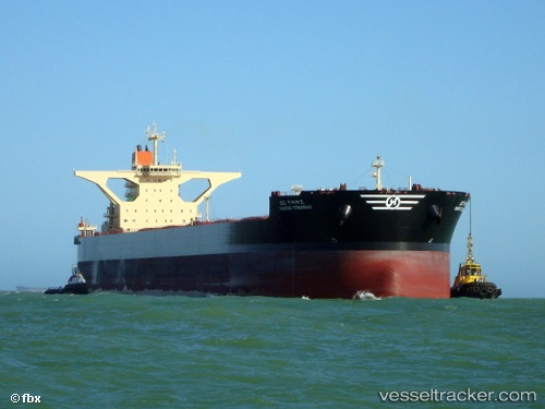
Vessel profile: HL TUBARAO is a Ore Carrier with dimensions m x m.
This page combines live AIS, route history, probable destination signals, nearby traffic, and port activity for practical vessel monitoring.
The current position of vessel HL TUBARAO is -24.98994 lat / 52.95979 lng. Updated: 2026-05-18 19:46:34 UTCNearest reference points:
- 271 nm E of Fort Dauphin
- 209 nm E of Manakara
- 194 nm E of Manakara
Currently sailing under the flag of Liberia ![]()
Details:
Live Vessel HL TUBARAO Analytics (details, animations, etc.)
Recent AIS points (UTC):
2026-05-18 16:58:45 UTC · -24.71205, 53.50964 · SOG 11.7 kn · COG 240°2026-05-18 17:43:04 UTC · -24.78354, 53.36760 · SOG 12.1 kn · COG 240°
2026-05-18 19:29:16 UTC · -24.96121, 53.01800 · SOG 12.6 kn · COG 243°
2026-05-18 19:46:34 UTC · -24.98994, 52.95979 · SOG 12.3 kn · COG 243°