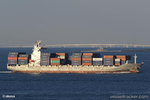
 WAN HAI 271
Current Status
Where is the vessel?
WAN HAI 271 is currently in Near SATTAHIP, based on AIS data received about 15h ago.
Latest AIS update:
Current position: 12.52125° N, 100.82708° E (Near SATTAHIP)
Average speed (last 7 days): Loading…
Average speed (last 30 days): Loading…
Vessel profile: WAN HAI 271 is a Container Ship with dimensions m x m.
This page combines live AIS, route history, probable destination signals, nearby traffic, and port activity for practical vessel monitoring.
The current position of vessel WAN HAI 271 is 12.52125 lat / 100.82708 lng. Updated: 2026-05-19 05:34:31 UTCNearest reference points:
- Near SATTAHIP
- 11 nm S of Map Ta Phut
- 33 nm S of SATTAHIP
Currently sailing under the flag of Taiwan ![]()
Details:
Live Vessel WAN HAI 271 Analytics (details, animations, etc.)
Recent AIS points (UTC):
2026-05-19 02:10:12 UTC · 13.06710, 100.88996 · SOG 0.1 kn · COG 60°2026-05-19 03:38:14 UTC · 12.99119, 100.75591 · SOG 15.5 kn · COG 196°
2026-05-19 04:07:02 UTC · 12.86756, 100.73545 · SOG 15.6 kn · COG 188°
2026-05-19 05:34:31 UTC · 12.52125, 100.82708 · SOG 15.2 kn · COG 148°