 vesseltracker.com
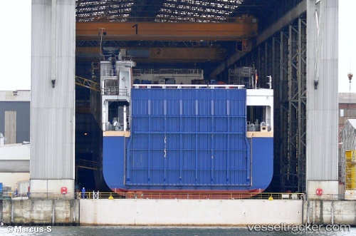
 Ulusoy 14
Current Status
Where is the vessel?
Ulusoy 14 is currently in Near Neapolis, based on AIS data received about 15h ago.
Latest AIS update:
Current position: 36.41888° N, 23.15257° E (Near Neapolis)
Average speed (last 7 days): Loading…
Average speed (last 30 days): Loading…
Vessel profile: Ulusoy 14 is a Ro Ro Cargo Ship with dimensions 208m x 26m.
This page combines live AIS, route history, probable destination signals, nearby traffic, and port activity for practical vessel monitoring.
The current position of vessel Ulusoy 14 is 36.41888 lat / 23.15257 lng. Updated: 2026-05-18 10:35:29 UTCNearest reference points:
- Near Kythira
- 20 nm E of FOKIANOS
- 17 nm S of Areópolis
Currently sailing under the flag of Turkey ![]()
Ulusoy 14 built in 2012 year
Deadweight:
15000 tDetails:
Live Vessel Ulusoy 14 Analytics (details, animations, etc.)
Recent AIS points (UTC):
2026-05-18 07:16:34 UTC · 36.87612, 24.13087 · SOG 16.8 kn · COG 239°2026-05-18 07:52:11 UTC · 36.78831, 23.95518 · SOG 16.5 kn · COG 239°
2026-05-18 09:46:22 UTC · 36.51438, 23.39991 · SOG 16.8 kn · COG 233°
2026-05-18 10:35:29 UTC · 36.41888, 23.15257 · SOG 16.3 kn · COG 265°