 Serene Sky
Current Status
Where is the vessel?
Serene Sky is currently in 43 nm E of Jinjing, based on AIS data received about 15h ago.
Latest AIS update:
Current position: 25.66419° N, 120.55617° E (43 nm E of Jinjing)
Average speed (last 7 days): Loading…
Average speed (last 30 days): Loading…
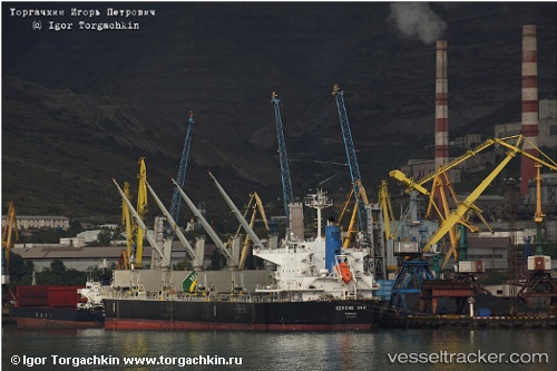
Vessel profile: Serene Sky is a Bulk Carrier with dimensions 190m x 189m.
This page combines live AIS, route history, probable destination signals, nearby traffic, and port activity for practical vessel monitoring.
The current position of vessel Serene Sky is 25.66419 lat / 120.55617 lng. Updated: 2026-05-18 17:55:06 UTCNearest reference points:
- 21 nm E of Jinjing
- 35 nm E of Beijiao
- 56 nm E of Beijiao
Currently sailing under the flag of Panama ![]()
Serene Sky built in 2011 year
Deadweight:
56119 tDetails:
Live Vessel Serene Sky Analytics (details, animations, etc.)
Recent AIS points (UTC):
2026-05-18 14:09:36 UTC · 26.29654, 120.93550 · SOG 11.9 kn · COG 203°2026-05-18 16:07:26 UTC · 25.95341, 120.75201 · SOG 11.6 kn · COG 206°
2026-05-18 17:04:46 UTC · 25.79401, 120.65481 · SOG 11.5 kn · COG 210°
2026-05-18 17:55:06 UTC · 25.66419, 120.55617 · SOG 11.3 kn · COG 222°