 ANTON
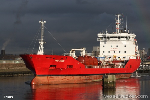
ANTON
Current Status
Where is the vessel?
ANTON is currently in Near Grangemouth, based on AIS data received about 14h ago.
Latest AIS update:
Current position: 56.03362° N, 3.69294° W (Near Grangemouth)
Average speed (last 7 days): Loading…
Average speed (last 30 days): Loading…
Vessel profile: ANTON is a Oil/Chemical Tanker with dimensions m x m.
This page combines live AIS, route history, probable destination signals, nearby traffic, and port activity for practical vessel monitoring.
The current position of vessel ANTON is 56.03362 lat / -3.69294 lng. Updated: 2026-05-18 22:14:30 UTCNearest reference points:
- Near Leith
- Near BROUGHTY FERRY
- Near Greenock
Currently sailing under the flag of Gibraltar ![]()
Details:
Live Vessel ANTON Analytics (details, animations, etc.)
Recent AIS points (UTC):
2026-05-18 19:59:31 UTC · 56.03357, -3.69297 · SOG 0 kn · COG 64°2026-05-18 21:26:31 UTC · 56.03358, -3.69296 · SOG 0 kn · COG 64°
2026-05-18 22:14:30 UTC · 56.03362, -3.69294 · SOG 0 kn · COG 64°
2026-05-18 22:14:30 UTC · 56.03362, -3.69294 · SOG 0 kn · COG 64°