 vesseltracker.com
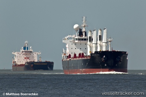
Mv Arrilah I
Current StatusWhere is the vessel?
Mv Arrilah I is currently in 113 nm N of Colomadu, based on AIS data received about 3h ago.
Latest AIS update:
Current position: 9.41664° N, 110.61899° E (113 nm N of Colomadu)
Average speed (last 7 days): Loading…
Average speed (last 30 days): Loading…
Vessel profile: Mv Arrilah I is a Bulk Carrier with dimensions 27m x 186m.
This page combines live AIS, route history, probable destination signals, nearby traffic, and port activity for practical vessel monitoring.
The current position of vessel Mv Arrilah I is 9.41664 lat / 110.61899 lng. Updated: 2026-05-17 04:14:53 UTCNearest reference points:
- 156 nm SE of Phan Rang-Tháp Chàm
- 163 nm E of Vinh Cam Ranh
- Near Rang Dong
Details:
Live Vessel Mv Arrilah I Analytics (details, animations, etc.)
Recent AIS points (UTC):
2026-05-17 03:47:23 UTC · 9.49038, 110.67590 · SOG 12.1 kn · COG 216°2026-05-17 04:14:53 UTC · 9.41664, 110.61899 · SOG 12.1 kn · COG 222°
2026-05-17 04:14:53 UTC · 9.41664, 110.61899 · SOG 12.1 kn · COG 222°
2026-05-17 04:14:53 UTC · 9.41664, 110.61899 · SOG 12.1 kn · COG 222°