 TANGIER EXPRESS
Current Status
Where is the vessel?
TANGIER EXPRESS is currently in 14 nm NW of Colombo, based on AIS data received about 14h ago.
Latest AIS update:
Current position: 7.06046° N, 79.64024° E (14 nm NW of Colombo)
Average speed (last 7 days): Loading…
Average speed (last 30 days): Loading…
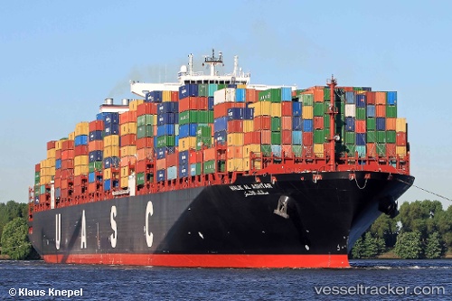
Vessel profile: TANGIER EXPRESS is a Container Ship with dimensions m x m.
This page combines live AIS, route history, probable destination signals, nearby traffic, and port activity for practical vessel monitoring.
The current position of vessel TANGIER EXPRESS is 7.06046 lat / 79.64024 lng. Updated: 2026-06-03 02:04:19 UTCNearest reference points:
- 19 nm SW of Bataduwa
- 67 nm SW of Moratuwa
- 82 nm W of Moratuwa
Currently sailing under the flag of Liberia ![]()
Details:
Live Vessel TANGIER EXPRESS Analytics (details, animations, etc.)
Recent AIS points (UTC):
2026-06-02 22:17:57 UTC · 6.94599, 79.82897 · SOG 0 kn · COG 269°2026-06-03 00:08:57 UTC · 6.94599, 79.82898 · SOG 0 kn · COG 270°
2026-06-03 01:56:37 UTC · 7.05885, 79.67413 · SOG 16.1 kn · COG 283°
2026-06-03 02:04:19 UTC · 7.06046, 79.64024 · SOG 15.8 kn · COG 254°