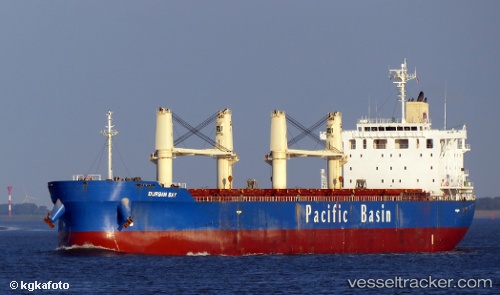
 BC MIRABEL
Current Status
Where is the vessel?
BC MIRABEL is currently in Near Ain Taya, based on AIS data received about 15h ago.
Latest AIS update:
Current position: 36.93067° N, 3.26845° E (Near Ain Taya)
Average speed (last 7 days): Loading…
Average speed (last 30 days): Loading…
Vessel profile: BC MIRABEL is a Cargo with dimensions m x m.
This page combines live AIS, route history, probable destination signals, nearby traffic, and port activity for practical vessel monitoring.
The current position of vessel BC MIRABEL is 36.93067 lat / 3.26845 lng. Updated: 2026-05-18 21:42:42 UTCNearest reference points:
- Near Algiers
- 16 nm NE of Berja
- Near Zamoranos
Currently sailing under the flag of Barbados ![]()
Details:
Live Vessel BC MIRABEL Analytics (details, animations, etc.)
Recent AIS points (UTC):
2026-05-18 17:31:42 UTC · 37.14923, 4.15546 · SOG 10.7 kn · COG 260°2026-05-18 19:11:52 UTC · 37.06428, 3.80933 · SOG 10.4 kn · COG 234°
2026-05-18 20:24:32 UTC · 36.97278, 3.56385 · SOG 10.9 kn · COG 248°
2026-05-18 21:42:42 UTC · 36.93067, 3.26845 · SOG 11.4 kn · COG 258°