 vesseltracker.com
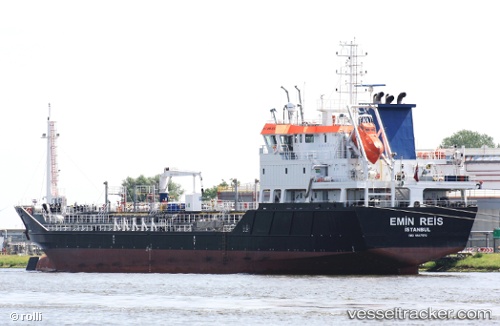
 ORIOLE
Current Status
Where is the vessel?
ORIOLE is currently in Near Llanwrda, based on AIS data received about 14h ago.
Latest AIS update:
Current position: 51.90489° N, 3.64220° E (Near Llanwrda)
Average speed (last 7 days): Loading…
Average speed (last 30 days): Loading…
Vessel profile: ORIOLE is a Oil/Chemical Tanker with dimensions m x m.
This page combines live AIS, route history, probable destination signals, nearby traffic, and port activity for practical vessel monitoring.
The current position of vessel ORIOLE is 51.90489 lat / 3.64220 lng. Updated: 2026-05-17 23:21:40 UTCNearest reference points:
- 12 nm NE of Hunsdon
- Near NEELTJE JANS
- Near DEN OSSE
Currently sailing under the flag of Antigua and Barbuda ![]()
Details:
Live Vessel ORIOLE Analytics (details, animations, etc.)
Recent AIS points (UTC):
2026-05-17 20:06:38 UTC · 51.90474, 3.64208 · SOG 0 kn · COG 69°2026-05-17 21:42:38 UTC · 51.90457, 3.64224 · SOG 0.1 kn · COG 69°
2026-05-17 22:42:52 UTC · 51.90470, 3.64238 · SOG 0.1 kn · COG 71°
2026-05-17 23:21:40 UTC · 51.90489, 3.64220 · SOG 0 kn · COG 91°