 vesseltracker.com
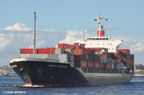
 SMOOTH WIND
Current Status
Where is the vessel?
SMOOTH WIND is currently in 21 nm SE of Nam Hai Dinh Vu Port, based on AIS data received about 14h ago.
Latest AIS update:
Current position: 20.50767° N, 107.00550° E (21 nm SE of Nam Hai Dinh Vu Port)
Average speed (last 7 days): Loading…
Average speed (last 30 days): Loading…
Vessel profile: SMOOTH WIND is a Container Ship with dimensions m x m.
This page combines live AIS, route history, probable destination signals, nearby traffic, and port activity for practical vessel monitoring.
The current position of vessel SMOOTH WIND is 20.50767 lat / 107.00550 lng. Updated: 2026-05-18 10:11:04 UTCNearest reference points:
- 25 nm S of Nam Hai Dinh Vu Port
- 12 nm SE of Nam Hai Dinh Vu Port
- 14 nm SE of Nam Hai Dinh Vu Port
Currently sailing under the flag of Liberia ![]()
Details:
Live Vessel SMOOTH WIND Analytics (details, animations, etc.)
Recent AIS points (UTC):
2026-05-18 03:26:36 UTC · 20.50408, 107.11463 · SOG 0 kn · COG 192°2026-05-18 03:26:36 UTC · 20.50408, 107.11463 · SOG 0 kn · COG 192°
2026-05-18 09:00:57 UTC · 20.50757, 107.01798 · SOG 6.8 kn · COG -1°
2026-05-18 10:11:04 UTC · 20.50767, 107.00550 · SOG 0.5 kn · COG -1°