 ANITA I
Current Status
Where is the vessel?
ANITA I is currently in 42 nm N of Camar Marine Terminal, based on AIS data received about 15h ago.
Latest AIS update:
Current position: 5.61665° S, 112.84646° E (42 nm N of Camar Marine Terminal)
Average speed (last 7 days): Loading…
Average speed (last 30 days): Loading…
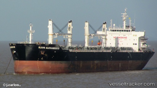
Vessel profile: ANITA I is a Bulk Carrier with dimensions m x m.
This page combines live AIS, route history, probable destination signals, nearby traffic, and port activity for practical vessel monitoring.
The current position of vessel ANITA I is -5.61665 lat / 112.84646 lng. Updated: 2026-05-19 05:38:27 UTCNearest reference points:
- 50 nm N of Camar Marine Terminal
- 60 nm NW of Camar Marine Terminal
- 25 nm NE of Camar Marine Terminal
Currently sailing under the flag of Indonesia ![]()
Details:
Live Vessel ANITA I Analytics (details, animations, etc.)
Recent AIS points (UTC):
2026-05-19 03:05:05 UTC · -5.54314, 113.26519 · SOG 10.1 kn · COG 243°2026-05-19 03:05:05 UTC · -5.54314, 113.26519 · SOG 10.1 kn · COG 243°
2026-05-19 05:38:27 UTC · -5.61665, 112.84646 · SOG 10.1 kn · COG 265°
2026-05-19 05:38:27 UTC · -5.61665, 112.84646 · SOG 10.1 kn · COG 265°