 vesseltracker.com
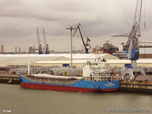
 DEK
DEK
Current Status
Where is the vessel?
DEK is currently in 17 nm SW of Nisiros, based on AIS data received about 14h ago.
Latest AIS update:
Current position: 36.43511° N, 26.87405° E (17 nm SW of Nisiros)
Average speed (last 7 days): Loading…
Average speed (last 30 days): Loading…
Vessel profile: DEK is a General Cargo with dimensions m x m.
This page combines live AIS, route history, probable destination signals, nearby traffic, and port activity for practical vessel monitoring.
The current position of vessel DEK is 36.43511 lat / 26.87405 lng. Updated: 2026-05-18 05:55:17 UTCNearest reference points:
- 20 nm S of Astypálaia
- Near KALYMNOS
- 11 nm E of GYALI
Currently sailing under the flag of Vanuatu ![]()
Details:
Live Vessel DEK Analytics (details, animations, etc.)
Recent AIS points (UTC):
2026-05-18 02:19:30 UTC · 36.09516, 27.26511 · SOG 7.3 kn · COG 309°2026-05-18 03:54:28 UTC · 36.22701, 27.06755 · SOG 8.3 kn · COG 309°
2026-05-18 04:11:46 UTC · 36.25400, 27.03152 · SOG 8.1 kn · COG 318°
2026-05-18 05:55:17 UTC · 36.43511, 26.87405 · SOG 7.7 kn · COG 347°