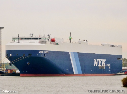
 DIONE LEADER
Current Status
Where is the vessel?
DIONE LEADER is currently in 36 nm NW of Yallingup, based on AIS data received about 14h ago.
Latest AIS update:
Current position: 33.35101° S, 114.41619° E (36 nm NW of Yallingup)
Average speed (last 7 days): Loading…
Average speed (last 30 days): Loading…
Vessel profile: DIONE LEADER is a Vehicles Carrier with dimensions m x m.
This page combines live AIS, route history, probable destination signals, nearby traffic, and port activity for practical vessel monitoring.
The current position of vessel DIONE LEADER is -33.35101 lat / 114.41619 lng. Updated: 2026-05-19 13:14:24 UTCNearest reference points:
- Near Bunbury
- Near Kwinana
- Near ROTTNEST ISLAND
Currently sailing under the flag of Japan ![]()
Details:
Live Vessel DIONE LEADER Analytics (details, animations, etc.)
Recent AIS points (UTC):
2026-05-19 10:21:20 UTC · -34.15513, 114.69723 · SOG 18.3 kn · COG 352°2026-05-19 11:03:04 UTC · -33.94500, 114.64667 · SOG 18 kn · COG -1°
2026-05-19 11:39:12 UTC · -33.77271, 114.58192 · SOG 17.1 kn · COG 341°
2026-05-19 13:14:24 UTC · -33.35101, 114.41619 · SOG 17.3 kn · COG 344°