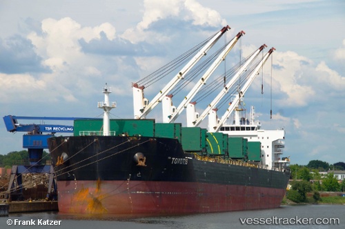
 TOXOTIS
Current Status
Where is the vessel?
TOXOTIS is currently in 53 nm E of Nedroma, based on AIS data received about 16h ago.
Latest AIS update:
Current position: 34.96500° N, 13.58833° W (53 nm E of Nedroma)
Average speed (last 7 days): Loading…
Average speed (last 30 days): Loading…
Vessel profile: TOXOTIS is a Bulk Carrier with dimensions m x m.
This page combines live AIS, route history, probable destination signals, nearby traffic, and port activity for practical vessel monitoring.
The current position of vessel TOXOTIS is 34.96500 lat / -13.58833 lng. Updated: 2026-05-20 07:29:03 UTCNearest reference points:
- 75 nm NE of Nedroma
- 110 nm E of Nedroma
- 74 nm E of Alozaina
Currently sailing under the flag of Liberia ![]()
Details:
Live Vessel TOXOTIS Analytics (details, animations, etc.)
Recent AIS points (UTC):
2026-05-20 04:35:01 UTC · 35.47500, -13.40333 · SOG 10 kn · COG -1°2026-05-20 05:46:59 UTC · 35.26333, -13.47833 · SOG 11 kn · COG -1°
2026-05-20 07:21:09 UTC · 34.98784, -13.58225 · SOG 10.7 kn · COG 198°
2026-05-20 07:29:03 UTC · 34.96500, -13.58833 · SOG 10 kn · COG -1°