 vesseltracker.com
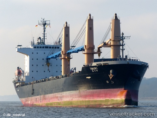
 IMARI
IMARI
Current Status
Where is the vessel?
IMARI is currently in 185 nm NW of Bolinao, based on AIS data received about 14h ago.
Latest AIS update:
Current position: 17.90778° N, 117.07648° E (185 nm NW of Bolinao)
Average speed (last 7 days): Loading…
Average speed (last 30 days): Loading…
Vessel profile: IMARI is a General Cargo with dimensions m x m.
This page combines live AIS, route history, probable destination signals, nearby traffic, and port activity for practical vessel monitoring.
The current position of vessel IMARI is 17.90778 lat / 117.07648 lng. Updated: 2026-05-18 07:53:08 UTCNearest reference points:
- 138 nm NW of Bolinao
- 148 nm SE of Xijiang
Currently sailing under the flag of Marshall Islands ![]()
Details:
Live Vessel IMARI Analytics (details, animations, etc.)
Recent AIS points (UTC):
2026-05-17 06:16:31 UTC · 22.14279, 119.66916 · SOG 10.9 kn · COG 178°2026-05-17 06:16:31 UTC · 22.14279, 119.66916 · SOG 10.9 kn · COG 178°
2026-05-17 06:16:31 UTC · 22.14279, 119.66916 · SOG 10.9 kn · COG 178°
2026-05-18 07:53:08 UTC · 17.90778, 117.07648 · SOG 11.8 kn · COG 211°