 LADY LITEL
Current Status
Where is the vessel?
LADY LITEL is currently in 67 nm SW of Nosara Beach, based on AIS data received about 14h ago.
Latest AIS update:
Current position: 9.48250° N, 86.66093° W (67 nm SW of Nosara Beach)
Average speed (last 7 days): Loading…
Average speed (last 30 days): Loading…
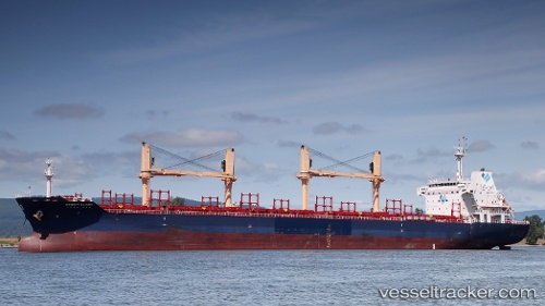
Vessel profile: LADY LITEL is a Bulk Carrier with dimensions m x m.
This page combines live AIS, route history, probable destination signals, nearby traffic, and port activity for practical vessel monitoring.
The current position of vessel LADY LITEL is 9.48250 lat / -86.66093 lng. Updated: 2026-05-20 16:06:03 UTCNearest reference points:
- 67 nm SW of Sámara
- 27 nm W of Playa Conchal
- Near Golfo de Papagayo
Currently sailing under the flag of Barbados ![]()
Details:
Live Vessel LADY LITEL Analytics (details, animations, etc.)
Recent AIS points (UTC):
2026-05-20 12:13:57 UTC · 8.75724, -86.52244 · SOG 11.7 kn · COG 346°2026-05-20 13:30:35 UTC · 8.99783, -86.56781 · SOG 11.3 kn · COG 346°
2026-05-20 13:47:26 UTC · 9.04968, -86.57891 · SOG 11.2 kn · COG 346°
2026-05-20 16:06:03 UTC · 9.48250, -86.66093 · SOG 11.6 kn · COG 350°