 STAR TYCHE
Current Status
Where is the vessel?
STAR TYCHE is currently in 125 nm NW of Kumejima, based on AIS data received about 22h ago.
Latest AIS update:
Current position: 27.63441° N, 124.86734° E (125 nm NW of Kumejima)
Average speed (last 7 days): Loading…
Average speed (last 30 days): Loading…
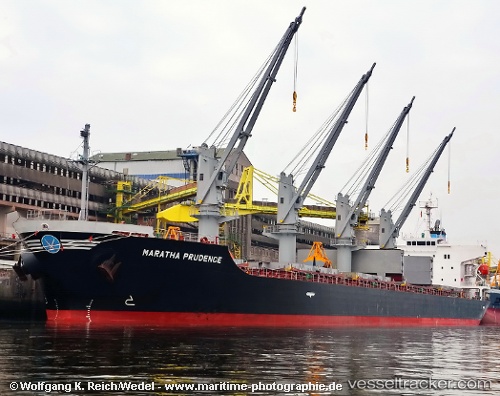
Vessel profile: STAR TYCHE is a Bulk Carrier with dimensions m x m.
This page combines live AIS, route history, probable destination signals, nearby traffic, and port activity for practical vessel monitoring.
The current position of vessel STAR TYCHE is 27.63441 lat / 124.86734 lng. Updated: 2026-05-20 03:28:49 UTCNearest reference points:
- 102 nm E of Wenling Longmen Port
- 129 nm SE of ZHOUSHAN
- 107 nm E of Wenling Longmen Port
Currently sailing under the flag of South Korea ![]()
Details:
Live Vessel STAR TYCHE Analytics (details, animations, etc.)
Recent AIS points (UTC):
2026-05-20 03:28:49 UTC · 27.63441, 124.86734 · SOG 13.1 kn · COG -1°2026-05-20 03:28:49 UTC · 27.63441, 124.86734 · SOG 13.1 kn · COG -1°
2026-05-20 03:28:49 UTC · 27.63441, 124.86734 · SOG 13.1 kn · COG -1°
2026-05-20 03:28:49 UTC · 27.63441, 124.86734 · SOG 13.1 kn · COG -1°