 vesseltracker.com
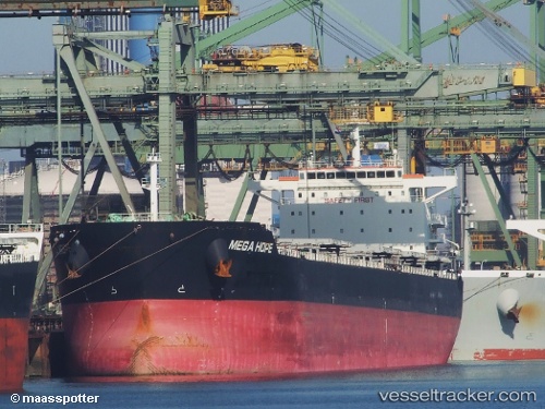
Sea Hope
Current StatusWhere is the vessel?
Sea Hope is currently in 53 nm W of Lushun New Pt, based on AIS data received about 14h ago.
Latest AIS update:
Current position: 38.67167° N, 120.05333° E (53 nm W of Lushun New Pt)
Average speed (last 7 days): Loading…
Average speed (last 30 days): Loading…
Vessel profile: Sea Hope is a Bulk Carrier with dimensions 32m x 229m.
This page combines live AIS, route history, probable destination signals, nearby traffic, and port activity for practical vessel monitoring.
The current position of vessel Sea Hope is 38.67167 lat / 120.05333 lng. Updated: 2026-05-18 07:45:58 UTCNearest reference points:
- 38 nm W of Lushun New Pt
- 43 nm NE of DONGYING
- 38 nm NW of Changdao
Details:
Live Vessel Sea Hope Analytics (details, animations, etc.)
Recent AIS points (UTC):
2026-05-18 04:12:18 UTC · 38.74751, 119.20274 · SOG 11 kn · COG 97°2026-05-18 06:21:53 UTC · 38.70833, 119.72500 · SOG 11 kn · COG -1°
2026-05-18 06:58:57 UTC · 38.69318, 119.87033 · SOG 11 kn · COG 105°
2026-05-18 07:45:58 UTC · 38.67167, 120.05333 · SOG 11 kn · COG -1°