 vesseltracker.com
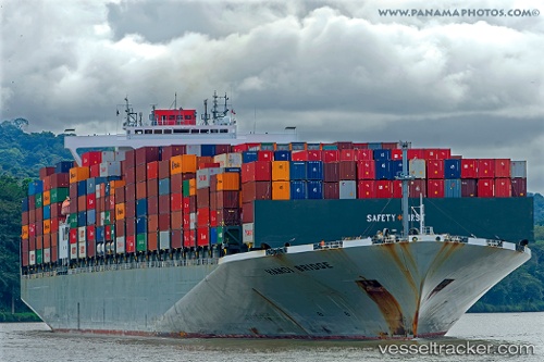
 ONE HANOI
Current Status
Where is the vessel?
ONE HANOI is currently in Near Fukushima, Hokkaido, based on AIS data received about 15h ago.
Latest AIS update:
Current position: 41.40084° N, 140.43340° E (Near Fukushima, Hokkaido)
Average speed (last 7 days): Loading…
Average speed (last 30 days): Loading…
Vessel profile: ONE HANOI is a Container Ship with dimensions m x m.
This page combines live AIS, route history, probable destination signals, nearby traffic, and port activity for practical vessel monitoring.
The current position of vessel ONE HANOI is 41.40084 lat / 140.43340 lng. Updated: 2026-05-17 22:07:33 UTCNearest reference points:
- 11 nm NW of Yokohama, Aomori
- Near Yokohama, Aomori
- 23 nm NE of SAI
Currently sailing under the flag of Japan ![]()
Details:
Live Vessel ONE HANOI Analytics (details, animations, etc.)
Recent AIS points (UTC):
2026-05-17 20:02:38 UTC · 41.07480, 139.77792 · SOG 17.2 kn · COG 55°2026-05-17 20:16:38 UTC · 41.11210, 139.85289 · SOG 17.7 kn · COG 57°
2026-05-17 21:45:38 UTC · 41.34379, 140.31870 · SOG 17.1 kn · COG 59°
2026-05-17 22:07:33 UTC · 41.40084, 140.43340 · SOG 17.4 kn · COG 59°