 CAVARLY
Current Status
Where is the vessel?
CAVARLY is currently in 394 nm E of Diego Garcia, based on AIS data received about 14h ago.
Latest AIS update:
Current position: 6.80732° S, 79.05813° E (394 nm E of Diego Garcia)
Average speed (last 7 days): Loading…
Average speed (last 30 days): Loading…
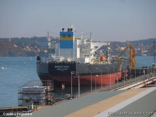
Vessel profile: CAVARLY is a Crude Oil Tanker with dimensions m x m.
This page combines live AIS, route history, probable destination signals, nearby traffic, and port activity for practical vessel monitoring.
The current position of vessel CAVARLY is -6.80732 lat / 79.05813 lng. Updated: 2026-05-19 03:32:44 UTCNearest reference points:
- Open sea, approx. 513 nm off the nearest listed port
- Open sea, approx. 519 nm off the nearest listed port
- Open sea, approx. 517 nm off the nearest listed port
Currently sailing under the flag of India ![]()
Details:
Live Vessel CAVARLY Analytics (details, animations, etc.)
Recent AIS points (UTC):
2026-05-18 23:58:33 UTC · -7.27129, 78.48945 · SOG 12 kn · COG 50°2026-05-19 01:26:06 UTC · -7.08106, 78.71819 · SOG 12 kn · COG 51°
2026-05-19 01:38:54 UTC · -7.05392, 78.75054 · SOG 12.1 kn · COG -1°
2026-05-19 03:32:44 UTC · -6.80732, 79.05813 · SOG 12.4 kn · COG 53°