 vesseltracker.com
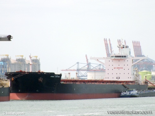
 PANTARISTE
Current Status
Where is the vessel?
PANTARISTE is currently in 46 nm SW of Calatagan, based on AIS data received about 14h ago.
Latest AIS update:
Current position: 13.30879° N, 120.06125° E (46 nm SW of Calatagan)
Average speed (last 7 days): Loading…
Average speed (last 30 days): Loading…
Vessel profile: PANTARISTE is a Bulk Carrier with dimensions 45m x 290m.
This page combines live AIS, route history, probable destination signals, nearby traffic, and port activity for practical vessel monitoring.
The current position of vessel PANTARISTE is 13.30879 lat / 120.06125 lng. Updated: 2026-05-18 02:49:25 UTCNearest reference points:
- Near Nasugbu, Luzon
- 19 nm SW of MARIVELES
- Near Lobo
Currently sailing under the flag of Liberia ![]()
PANTARISTE built in 2011 year
Deadweight:
169097 tDetails:
Live Vessel PANTARISTE Analytics (details, animations, etc.)
Recent AIS points (UTC):
2026-05-17 23:34:15 UTC · 12.81520, 120.26952 · SOG 9.7 kn · COG 338°2026-05-18 01:33:35 UTC · 13.11385, 120.14456 · SOG 9.9 kn · COG 336°
2026-05-18 01:35:05 UTC · 13.11755, 120.14278 · SOG 10 kn · COG 336°
2026-05-18 02:49:25 UTC · 13.30879, 120.06125 · SOG 10 kn · COG 336°