 EREIKOUSSA
Current Status
Where is the vessel?
EREIKOUSSA is currently in 24 nm SE of Pennington, based on AIS data received about 14h ago.
Latest AIS update:
Current position: 30.54600° S, 31.11399° E (24 nm SE of Pennington)
Average speed (last 7 days): Loading…
Average speed (last 30 days): Loading…
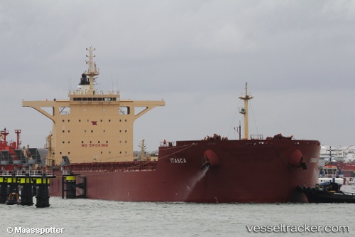
Vessel profile: EREIKOUSSA is a Cargo with dimensions m x m.
This page combines live AIS, route history, probable destination signals, nearby traffic, and port activity for practical vessel monitoring.
The current position of vessel EREIKOUSSA is -30.54600 lat / 31.11399 lng. Updated: 2026-05-22 01:11:27 UTCNearest reference points:
- Near Island View
- Near Durban
- Near Umhlanga Rocks
Currently sailing under the flag of Panama ![]()
Details:
Live Vessel EREIKOUSSA Analytics (details, animations, etc.)
Recent AIS points (UTC):
2026-05-21 19:36:37 UTC · -31.17757, 30.85250 · SOG 8.6 kn · COG 18°2026-05-21 22:16:28 UTC · -30.84528, 30.99654 · SOG 6.9 kn · COG 9°
2026-05-21 22:52:47 UTC · -30.78089, 31.02101 · SOG 6.4 kn · COG 14°
2026-05-22 01:11:27 UTC · -30.54600, 31.11399 · SOG 7.3 kn · COG 23°