 BEAM
BEAM
Current Status
Where is the vessel?
BEAM is currently in 45 nm S of Fairview, based on AIS data received about 15h ago.
Latest AIS update:
Current position: 34.73830° S, 23.91938° E (45 nm S of Fairview)
Average speed (last 7 days): Loading…
Average speed (last 30 days): Loading…
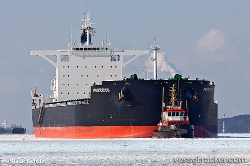
Vessel profile: BEAM is a Bulk Carrier with dimensions m x m.
This page combines live AIS, route history, probable destination signals, nearby traffic, and port activity for practical vessel monitoring.
The current position of vessel BEAM is -34.73830 lat / 23.91938 lng. Updated: 2026-05-19 11:59:24 UTCNearest reference points:
- 21 nm S of Mount Pleasant
- 37 nm S of Mosselbaai
- Near Mosselbaai
Currently sailing under the flag of Barbados ![]()
Details:
Live Vessel BEAM Analytics (details, animations, etc.)
Recent AIS points (UTC):
2026-05-19 08:22:18 UTC · -34.83878, 23.27023 · SOG 8.9 kn · COG 75°2026-05-19 10:03:32 UTC · -34.77829, 23.56817 · SOG 9.3 kn · COG 81°
2026-05-19 10:08:03 UTC · -34.77644, 23.58513 · SOG 9.2 kn · COG 82°
2026-05-19 11:59:24 UTC · -34.73830, 23.91938 · SOG 8.5 kn · COG 82°