 vesseltracker.com
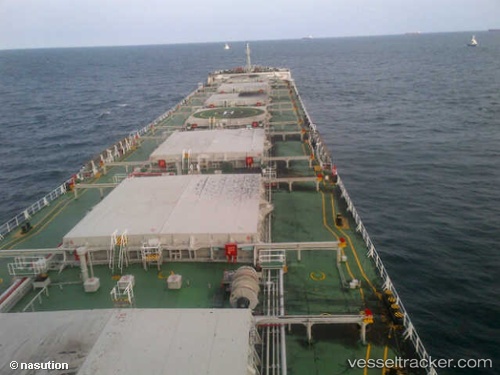
Rui Ning 20
Current StatusWhere is the vessel?
Rui Ning 20 is currently in 61 nm NE of Lü-hua Shan, based on AIS data received about 1h ago.
Latest AIS update:
Current position: 31.37474° N, 123.60112° E (61 nm NE of Lü-hua Shan)
Average speed (last 7 days): Loading…
Average speed (last 30 days): Loading…
Vessel profile: Rui Ning 20 is a Bulk Carrier with dimensions 32m x 225m.
This page combines live AIS, route history, probable destination signals, nearby traffic, and port activity for practical vessel monitoring.
The current position of vessel Rui Ning 20 is 31.37474 lat / 123.60112 lng. Updated: 2026-05-17 07:29:42 UTCNearest reference points:
- 70 nm NE of Jingjiang
- 44 nm E of Lü-hua Shan
- 56 nm E of Lü-hua Shan
Details:
Live Vessel Rui Ning 20 Analytics (details, animations, etc.)
Recent AIS points (UTC):
2026-05-17 04:15:31 UTC · 30.72774, 123.57826 · SOG 12.8 kn · COG 0°2026-05-17 05:35:59 UTC · 31.00747, 123.59361 · SOG 12.1 kn · COG 357°
2026-05-17 07:24:22 UTC · 31.35768, 123.60113 · SOG 11.5 kn · COG 355°
2026-05-17 07:29:42 UTC · 31.37474, 123.60112 · SOG 11.3 kn · COG 355°