 vesseltracker.com
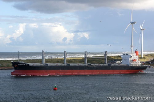
 FUAT SEZGIN
Current Status
Where is the vessel?
FUAT SEZGIN is currently in 47 nm NE of Gross Koris, based on AIS data received about 14h ago.
Latest AIS update:
Current position: 14.29322° N, 52.63968° E (47 nm NE of Gross Koris)
Average speed (last 7 days): Loading…
Average speed (last 30 days): Loading…
Vessel profile: FUAT SEZGIN is a Bulk Carrier with dimensions m x m.
This page combines live AIS, route history, probable destination signals, nearby traffic, and port activity for practical vessel monitoring.
The current position of vessel FUAT SEZGIN is 14.29322 lat / 52.63968 lng. Updated: 2026-05-17 19:48:17 UTCNearest reference points:
- 110 nm NE of Gross Koris
- 106 nm S of Port Raysut
- 103 nm S of Port Raysut
Currently sailing under the flag of Marshall Islands ![]()
Details:
Live Vessel FUAT SEZGIN Analytics (details, animations, etc.)
Recent AIS points (UTC):
2026-05-17 16:08:57 UTC · 14.29407, 53.30379 · SOG 11.2 kn · COG 279°2026-05-17 17:53:08 UTC · 14.35253, 52.97958 · SOG 10.6 kn · COG 279°
2026-05-17 19:20:30 UTC · 14.31115, 52.72015 · SOG 10.7 kn · COG 260°
2026-05-17 19:48:17 UTC · 14.29322, 52.63968 · SOG 10.2 kn · COG 266°