 vesseltracker.com
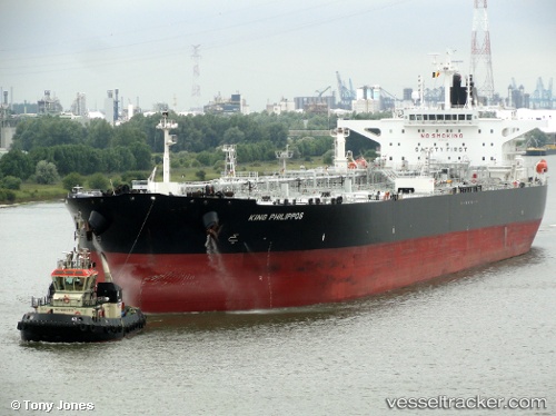
 KING PHILIPPOS
Current Status
Where is the vessel?
KING PHILIPPOS is currently in 14 nm W of Hönö, based on AIS data received about 14h ago.
Latest AIS update:
Current position: 57.64308° N, 11.20247° E (14 nm W of Hönö)
Average speed (last 7 days): Loading…
Average speed (last 30 days): Loading…
Vessel profile: KING PHILIPPOS is a Crude Oil Tanker with dimensions 44m x 250m.
This page combines live AIS, route history, probable destination signals, nearby traffic, and port activity for practical vessel monitoring.
The current position of vessel KING PHILIPPOS is 57.64308 lat / 11.20247 lng. Updated: 2026-05-17 19:31:54 UTCNearest reference points:
- 19 nm E of Sæby
- 12 nm SW of Vrångö
- 11 nm SW of Vrångö
Currently sailing under the flag of Marshall Islands ![]()
KING PHILIPPOS built in 2012 year
Deadweight:
111827 tDetails:
Live Vessel KING PHILIPPOS Analytics (details, animations, etc.)
Recent AIS points (UTC):
2026-05-17 15:58:05 UTC · 56.95358, 11.78387 · SOG 12.2 kn · COG 340°2026-05-17 16:19:04 UTC · 57.02268, 11.73958 · SOG 12.7 kn · COG 340°
2026-05-17 18:07:44 UTC · 57.39268, 11.48877 · SOG 13.1 kn · COG 339°
2026-05-17 19:31:54 UTC · 57.64308, 11.20247 · SOG 12.9 kn · COG 325°