 vesseltracker.com
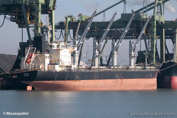
Thalis
Current StatusWhere is the vessel?
Thalis is currently in 245 nm SE of Barra de Santo Antonio, based on AIS data received about 1h ago.
Latest AIS update:
Current position: 12.03861° S, 32.30618° W (245 nm SE of Barra de Santo Antonio)
Average speed (last 7 days): Loading…
Average speed (last 30 days): Loading…
Vessel profile: Thalis is a Bulk Carrier with dimensions 28m x 186m.
This page combines live AIS, route history, probable destination signals, nearby traffic, and port activity for practical vessel monitoring.
The current position of vessel Thalis is -12.03861 lat / -32.30618 lng. Updated: 2026-05-18 06:14:23 UTCNearest reference points:
- 157 nm SE of Maceio
- Open sea, approx. 402 nm off the nearest listed port
- Open sea, approx. 405 nm off the nearest listed port
Details:
Live Vessel Thalis Analytics (details, animations, etc.)
Recent AIS points (UTC):
2026-05-18 01:57:23 UTC · -11.18373, -31.97537 · SOG 12.5 kn · COG 200°2026-05-18 03:37:51 UTC · -11.51595, -32.10468 · SOG 12.4 kn · COG 200°
2026-05-18 04:57:20 UTC · -11.77833, -32.20167 · SOG 12 kn · COG -1°
2026-05-18 06:14:23 UTC · -12.03861, -32.30618 · SOG 12.9 kn · COG 199°