 HUA TUO
Current Status
Where is the vessel?
HUA TUO is currently in 23 nm N of Lincheng, based on AIS data received about 14h ago.
Latest AIS update:
Current position: 20.29060° N, 109.70022° E (23 nm N of Lincheng)
Average speed (last 7 days): Loading…
Average speed (last 30 days): Loading…
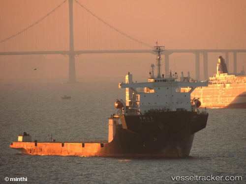
Vessel profile: HUA TUO is a Heavy Load Carrier with dimensions m x m.
This page combines live AIS, route history, probable destination signals, nearby traffic, and port activity for practical vessel monitoring.
The current position of vessel HUA TUO is 20.29060 lat / 109.70022 lng. Updated: 2026-05-19 02:12:20 UTCNearest reference points:
- 21 nm N of Lincheng
- 18 nm NW of Haikou Pt
- 15 nm NW of Lincheng
Currently sailing under the flag of China ![]()
Details:
Live Vessel HUA TUO Analytics (details, animations, etc.)
Recent AIS points (UTC):
2026-05-18 22:24:10 UTC · 20.48048, 109.47427 · SOG 4 kn · COG 141°2026-05-19 00:15:10 UTC · 20.38780, 109.57873 · SOG 4.5 kn · COG 140°
2026-05-19 02:08:00 UTC · 20.29358, 109.69532 · SOG 4.5 kn · COG 132°
2026-05-19 02:12:20 UTC · 20.29060, 109.70022 · SOG 4.5 kn · COG 132°